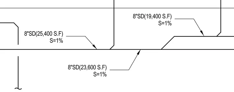
This diagram details an eight-inch storm drainage piping network with specified tributary areas and slopes. The layout includes lines sized at eight inches for standard drainage service, serving tributary areas of twenty-three thousand six hundred square feet, twenty-five thousand four hundred square feet, and nineteen thousand four hundred square feet respectively. All indicated pipe runs maintain a consistent slope of one percent.
Members view this detail in full resolution, download the CAD files (SVG, PDF), and can adapt it in the built-in CAD editor — export DXF, DWG, or PDF.
Start membership